| |
Welcome to the | |
| |
AACES-1 Project | |
| Australian Airborne Cal/val Experiment for SMOS |
|
Home page
Google Earth (KML file) Workplan SMOS AMSR-E WindSat ASCAT PALSAR ASAR MODIS MTSAT-1R ASTER Landsat CHRIS AVNIR-2 PLMR data Thermal Infrared data Multi-Spectral data Monitoring stations Soil moisture sampling Vegetation sampling Roughness sampling Campaign shapefiles DEM Land use Climate data Rainfall data Soil classification Soil water capacity Soil texture analysis AACES homepage Moisturemap homepage |
Roughness samplingSoil surface roughness measurements were made using a 1m long drop pin profiler with a pin separation of 25mm (see Figure below). The same measurements were made at 2 or 3 different locations within each of the 18 focus farms. At each soil roughness sampling location, 2 lots of consecutive readings (to simulate a 2m long profile) were performed in North-South and East-West orientations, respectively.  Roughness sampling at Focus Farm 17, Patch 09.
Roughness sampling measurementsThe locations of all roughness sampling measurements per patch are shown below. By clicking the icon of an individual roughenss sampling measurement, photographs of the pin profiler readings and plots of the measured data can be browsed. In order to download the collected data please go to the Download Centre. Patch 01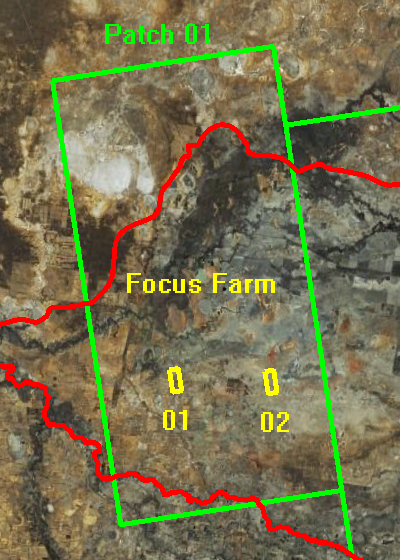 Source: GoogleEarth, accessed on 2nd, May 2010.  Source: GoogleEarth, accessed on 3rd, May 2010.  Source: GoogleEarth, accessed on 3rd, May 2010. Patch 02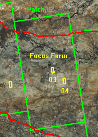 Source: GoogleEarth, accessed on 2nd, May 2010.  Source: GoogleEarth, accessed on 3rd, May 2010.  Source: GoogleEarth, accessed on 3rd, May 2010. Patch 03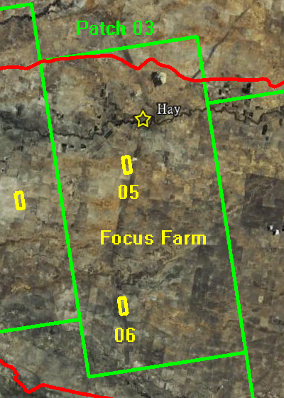 Source: GoogleEarth, accessed on 2nd, May 2010.  Source: GoogleEarth, accessed on 3rd, May 2010.  Source: GoogleEarth, accessed on 3rd, May 2010. Patch 04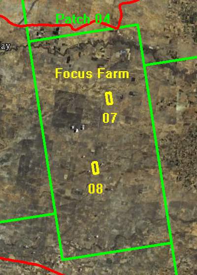 Source: GoogleEarth, accessed on 2nd, May 2010.  Source: GoogleEarth, accessed on 3rd, May 2010.  Source: GoogleEarth, accessed on 3rd, May 2010. Patch 05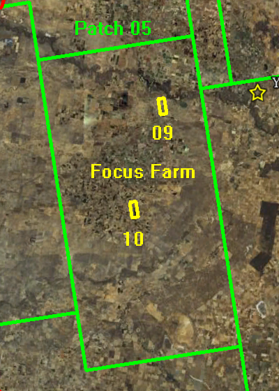 Source: GoogleEarth, accessed on 2nd, May 2010.  Source: GoogleEarth, accessed on 3rd, May 2010.  Source: GoogleEarth, accessed on 3rd, May 2010. Patch 07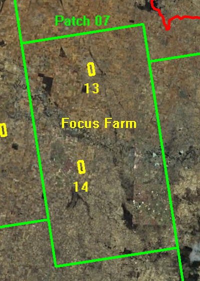 Source: GoogleEarth, accessed on 2nd, May 2010.  Source: GoogleEarth, accessed on 3rd, May 2010.  Source: GoogleEarth, accessed on 3rd, May 2010. Patch 08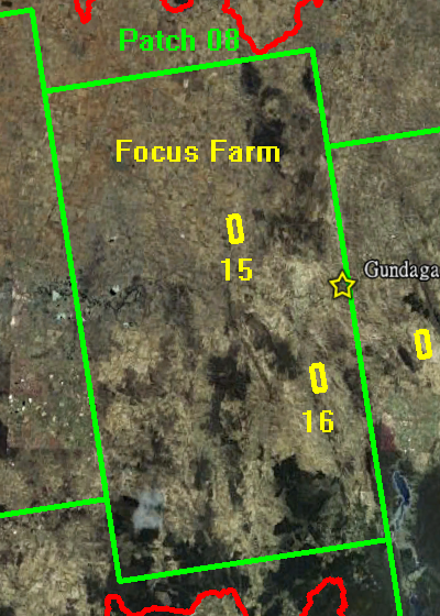 Source: GoogleEarth, accessed on 2nd, May 2010.  Source: GoogleEarth, accessed on 3rd, May 2010.  Source: GoogleEarth, accessed on 3rd, May 2010. Patch 09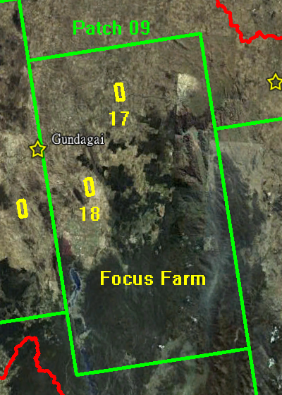 Source: GoogleEarth, accessed on 2nd, May 2010.  Source: GoogleEarth, accessed on 3rd, May 2010.  Source: GoogleEarth, accessed on 3rd, May 2010. Patch 10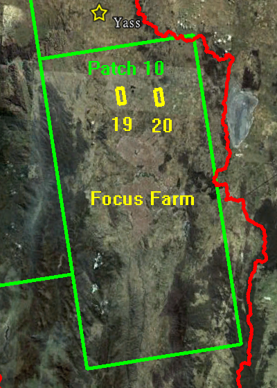 Source: GoogleEarth, accessed on 2nd, May 2010.  Source: GoogleEarth, accessed on 3rd, May 2010.  Source: GoogleEarth, accessed on 3rd, May 2010. |
|
Created: January 2010 Last Modified: August 2010 Maintainer: YE Nan, Ye.Nan@monash.edu |