| |
Welcome to the | |
| |
AACES-2 Project | |
| Australian Airborne Cal/val Experiment for SMOS |
|
Home page
Google Earth (KML file) Workplan SMOS AMSR-E WindSat ASCAT PALSAR ASAR MODIS MTSAT-1R ASTER Landsat CHRIS AVNIR-2 PLMR data Thermal Infrared data Multi-Spectral data Monitoring stations Soil moisture sampling Vegetation sampling Campaign shapefiles DEM Land use Climate data Soil classification Soil water capacity Soil texture analysis AACES homepage Moisturemap homepage |
Digital Elevation Model (DEM)The Murrumbidgee catchment is characterised by plains in the west with elevations around 50m, to steep mountainous regions towards the east with elevations in excess of 2,100m in the Snowy Mountains. The western plains show a few geological outcroppings with elevations up to 250m above sea level, while the highest point of the catchment is in the south east, with an elevation of about 2,220m. This is quite close to Mount Kosciuszko, the highest mountain in Australia. DEM data have been sourced by Geoscience Australia. 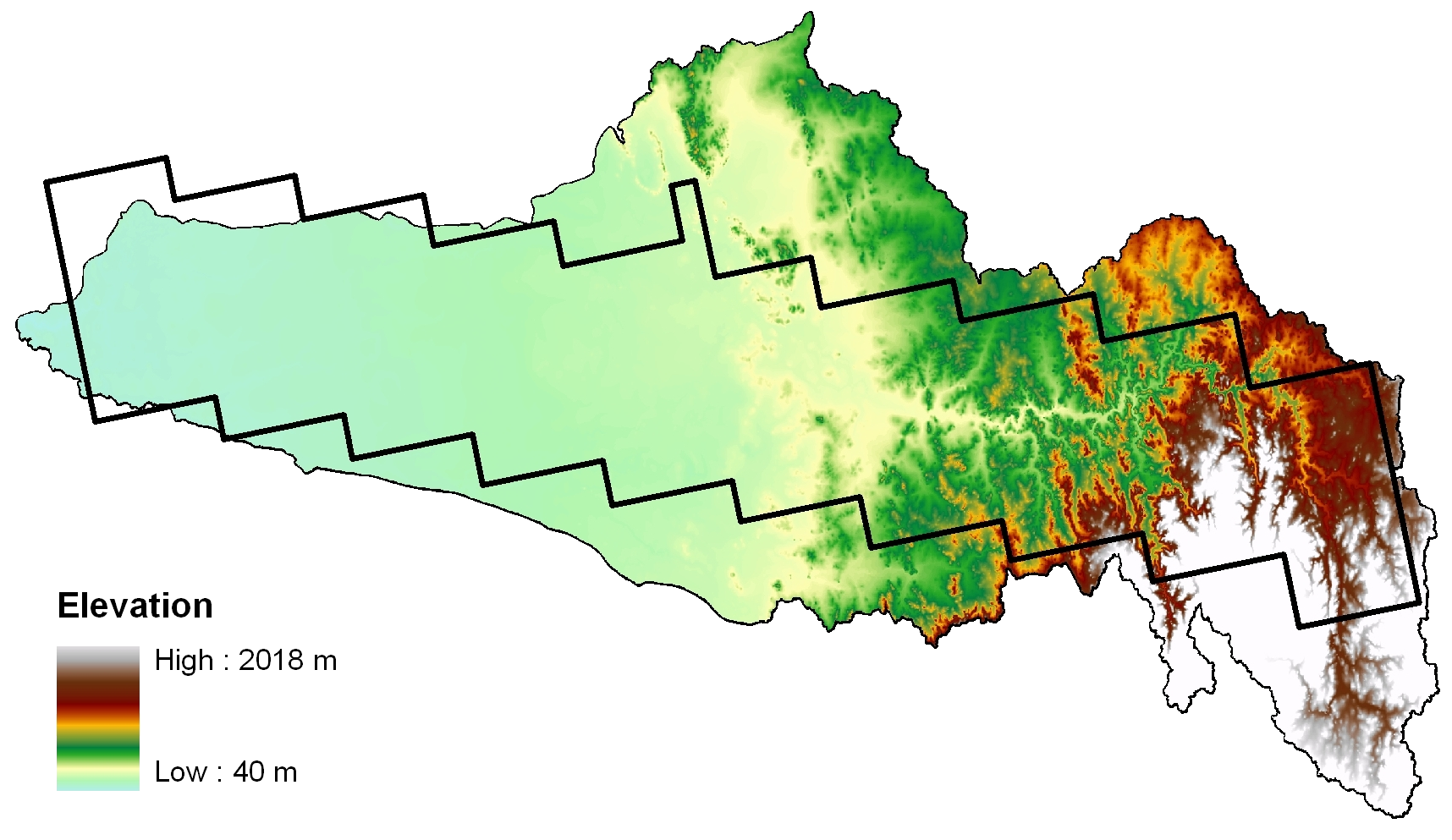 Source: Geoscience Australia
|
|
Created: September 2010 Last Modified: September 2010 Maintainer: YE Nan, Ye.Nan@monash.edu |