| |
Welcome to the | |
| |
AACES-1 Project | |
| Australian Airborne Cal/val Experiment for SMOS |
|
Home page
Google Earth (KML file) Workplan SMOS AMSR-E WindSat ASCAT PALSAR ASAR MODIS MTSAT-1R ASTER Landsat CHRIS AVNIR-2 PLMR data Thermal Infrared data Multi-Spectral data Monitoring stations Soil moisture sampling Vegetation sampling Roughness sampling Campaign shapefiles DEM Land use Climate data Rainfall data Soil classification Soil water capacity Soil texture analysis AACES homepage Moisturemap homepage |
Advanced Spaceborne Thermal Emission and Reflection Radiometer (ASTER)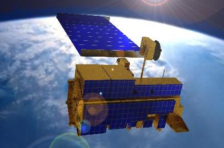 Source: http://terra.nasa.gov, access on 28th, Apr. 2010
ASTER provides high resolution visible (15m), near infrared (30m) and thermal infrared (90m) data on request. ASTER is onboard Terra and has a swath width of about 60km. ASTER is being used to obtain detailed maps of land surface temperature, reflectance and elevation. An order for ASTER data has been placed by an ASTER science team member to obtain data for mid January to end of February 2010. ASTER coverage for the Murrumbidgee Catchment is summarised below. ASTER data can be downloaded from NASA.
ASTER overpass timeASTER coverage for the Murrumbidgee Catchment during the first AACES campaign have been determined from a Fortran program based on NORAD data for 6th, Nov. 2009, and are summarized in the table below. Date and time are in UTC. Aircraft flights were assumed to be conducted at 7:45 for descending overpass and 20:35 for ascending overpass.
|
||||||||||||||||||||||||||||||||||||||||||||||||||||||||||||||||||||||||||||||||||||||||||||||||||||||||||||||||||||||||||||||||||||||||||||||||||||||||||||||||||||||||||||||||||||||||||||||||||||||||||||||||||||||||||||||||||||||||||||||||||||||||||||||||||||||||||||||||||||||||||||||||||||||||||||||||||||||||||||||||||||||||||||||||||||||||||||||||||||||||||||||||||||||
|
Created: January 2010 Last Modified: August 2010 Maintainer: YE Nan, Ye.Nan@monash.edu |